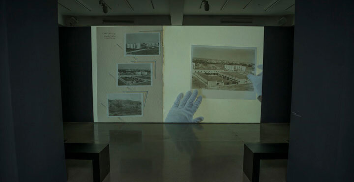


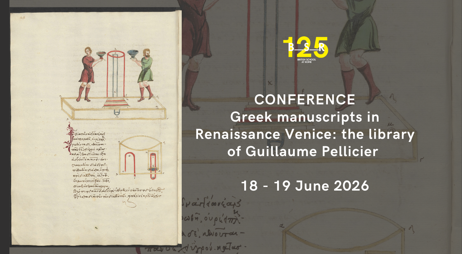
The library of Guillaume Pellicier (c.1490-1567), French bishop and ambassador to Venice, is a key resource for our understanding of the transmission of Greek culture
18 June from 14:30
19 June from 9:30
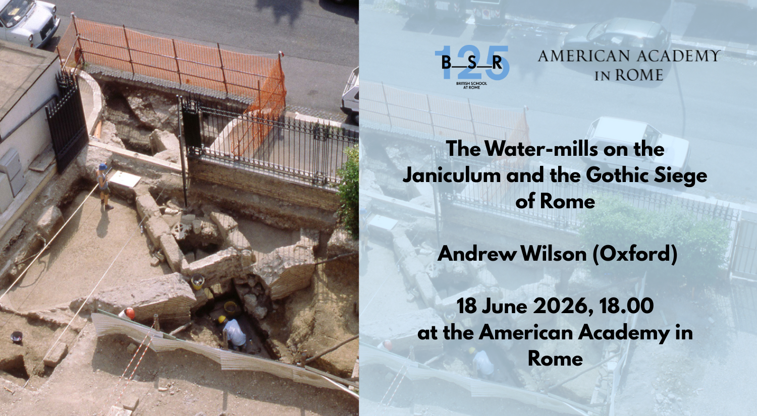
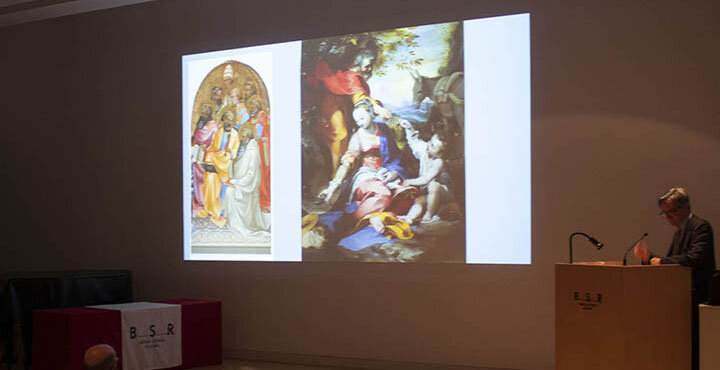
This is the third in a series of lectures on Material Environments, hosted jointly by the American Academy in Rome and the British School at Rome over the academic
18 June 2026
18:00 - 19:30
The library of Guillaume Pellicier (c.1490-1567), French bishop and ambassador to Venice, is a key resource for our understanding of the transmission of Greek culture
18 June from 14:30
19 June from 9:30
This is the third in a series of lectures on Material Environments, hosted jointly by the American Academy in Rome and the British School at Rome over the academic
18 June 2026
18:00 - 19:30
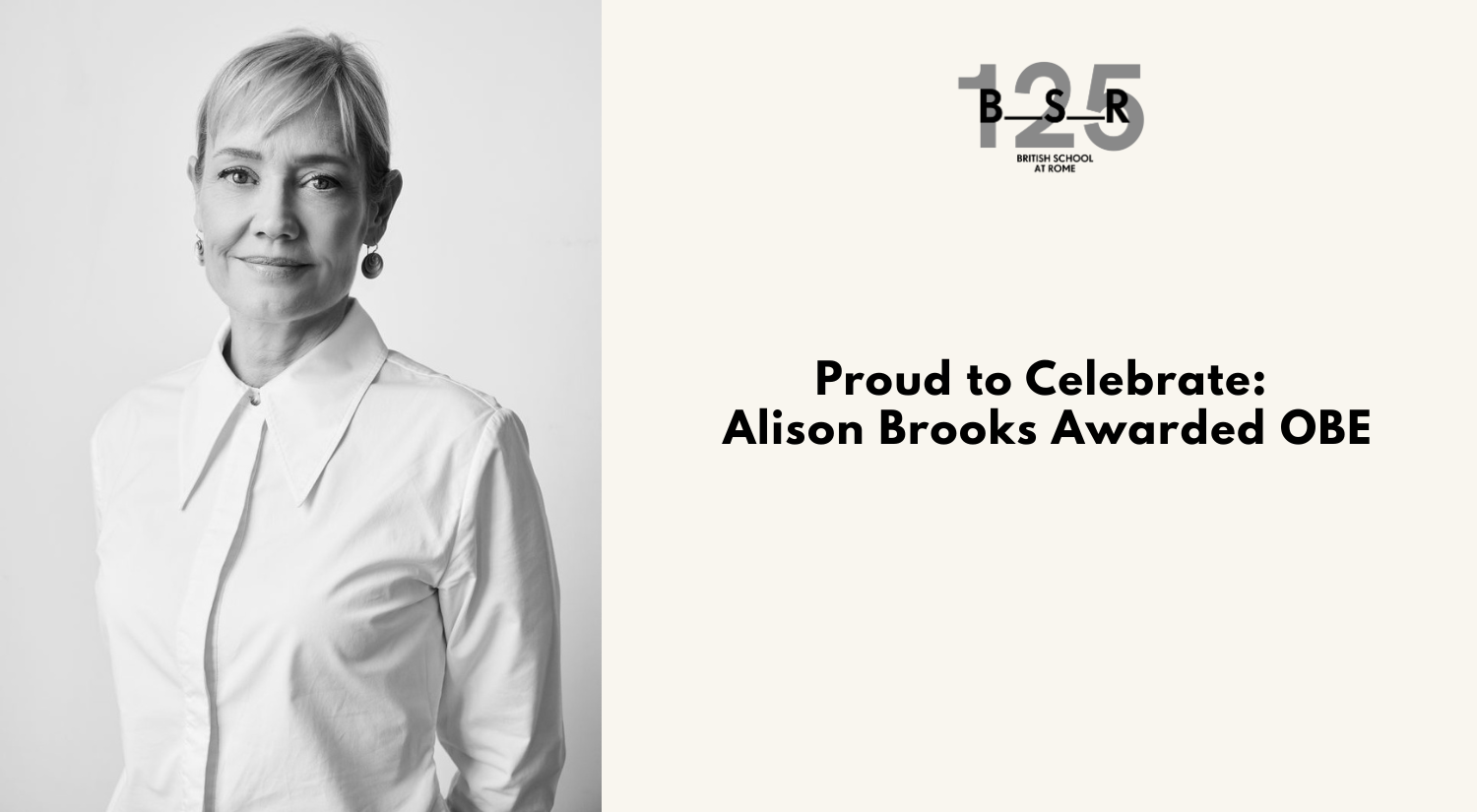
The British School at Rome extends its warmest congratulations to Alison Brooks on being awarded an OBE. An exceptional architect and valued member of our
The British School at Rome is very sad to learn of the death of Professor Rosamond McKitterick. Rosamond was an alumna and a long-standing supporter
As a charity, the BSR relies on the generosity of its alumni, members, and donors to sustain its work. At a time of increasing pressure