


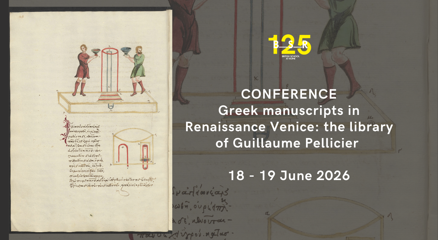
The library of Guillaume Pellicier (c.1490-1567), French bishop and ambassador to Venice, is a key resource for our understanding of the transmission of Greek culture
18 June from 14:30
19 June from 9:30
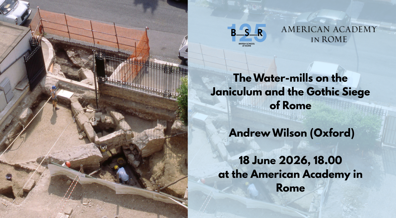
This is the third in a series of lectures on Material Environments, hosted jointly by the American Academy in Rome and the British School at Rome over the academic
18 June 2026
18:00 - 19:30
The library of Guillaume Pellicier (c.1490-1567), French bishop and ambassador to Venice, is a key resource for our understanding of the transmission of Greek culture
18 June from 14:30
19 June from 9:30
This is the third in a series of lectures on Material Environments, hosted jointly by the American Academy in Rome and the British School at Rome over the academic
18 June 2026
18:00 - 19:30
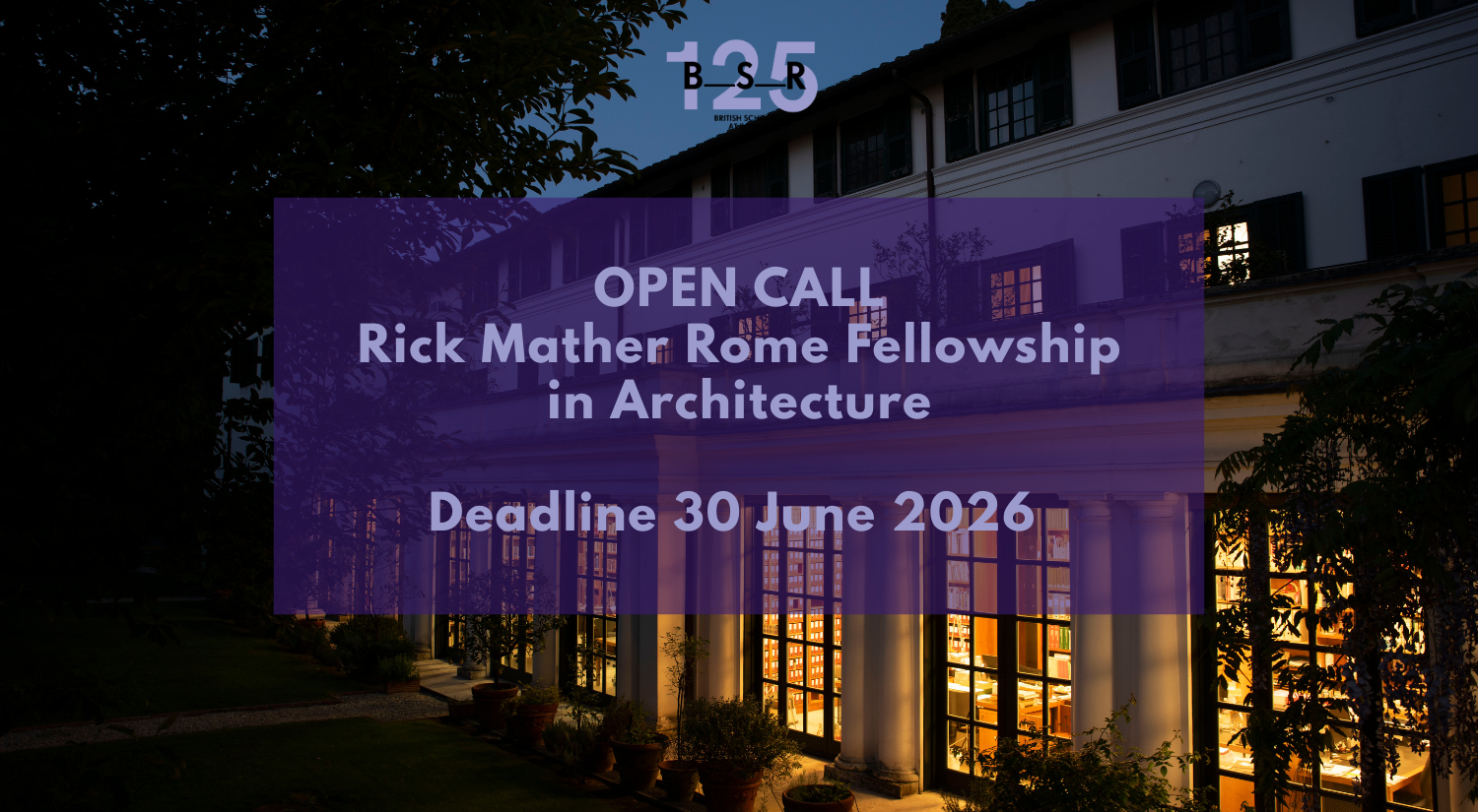
Applications are now open for the new Rick Mather Rome Fellowship in Architecture, offered in collaboration with the Rick Mather David Scrase Foundation. Honouring the
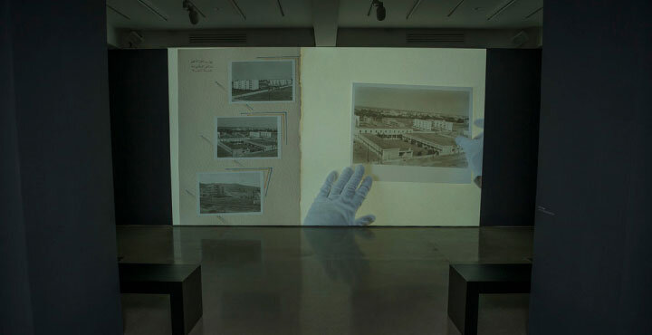
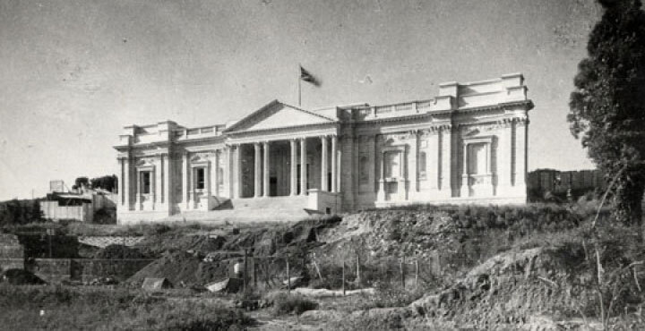
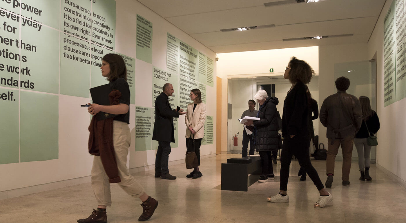
At the British School at Rome, exhibitions have long been at the heart of our programme across Fine Arts, Architecture, Archaeology and the Humanities. Each
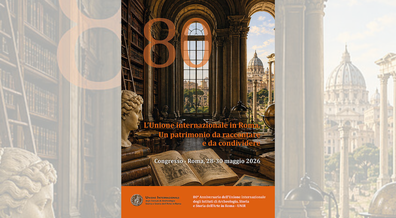
28-30 May 2026 In 1946, the founding statute of the International Union was signed in Rome by several European and American academies and research institutes.Today,